About Offroad Pilot
Offroad Pilot is a free route planner that plans motorcycle routes over as much unpaved as possible: forest tracks, gravel, sand and green lanes. Built by Willem Brom, an avid off-road motorcyclist, out of frustration with planners that avoid unpaved. This page explains where that comes from, what we stand for, and who it's for.
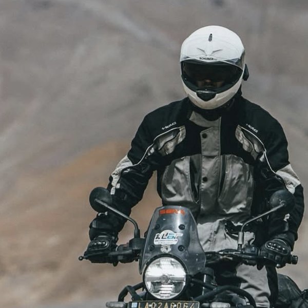
Willem Brom
Founder · avid off-road motorcyclist
Why Offroad Pilot exists
It started with a simple annoyance. Most motorcycle route planners are built for tarmac. If you want unpaved, the most you can do is turn off "avoid unpaved". A planner that actively seeks out sand, gravel and forest tracks didn't exist. And if you imported a beautiful unpaved track, the app would often snap it neatly back to the nearest surfaced road. The very part you came for would vanish.
The maker, Willem Brom, is an avid off-road motorcyclist. After watching an imported route disappear into the tarmac one too many times, the idea took shape to do it the other way around: build a planner where unpaved is not the exception but the starting point. No complicated install, no account, no paywall on the basics. Just open a map, set a start and an end (or only a start, for a loop), and get a route that seeks out the unpaved roads instead of dodging them.
Unpaved as the objective
That single principle drives every choice in the app. Instead of penalising unpaved, Offroad Pilot counts it as a plus. The route automatically seeks out as much unpaved as it can: gravel, sand and forest tracks. You decide how long the ride gets: the Adventure slider sets how much longer than the direct line your route may be, from near-direct to maximum adventure. For each segment you see what surface you'll get under your wheels, so there are few surprises on the way.
You export the result as a GPX for the apps off-road riders already use: Calimoto, Kurviger, TomTom Rider, OsmAnd and Gaia GPS. Offroad Pilot doesn't aim to replace your existing tools; it solves the part those apps are weak at: finding a good unpaved route to begin with.
What we stand for
Riding unpaved shouldn't burden the landscape or the people who live in it. That's why respect for nature and access rules is built in, not an afterthought:
| Value | What it means in practice |
|---|---|
| Free | The route planner costs nothing. No paywall on the core feature. |
| No account | No registration, no sign-in. You open the app and plan straight away. |
| In the browser | Nothing to install. Works as a web app (PWA) on phone and computer. |
| Respect for nature | Protected nature reserves (Staatsbosbeheer, Natuurmonumenten) stay out of your route by default. |
| Respect for access | Military areas are avoided by default; the route is a proposal you check against the signs on the way. |
| Open data | Map data © OpenStreetMap. The app runs entirely on open data. |
Those last two aren't marketing talk. A route from Offroad Pilot is a proposal, not a permission: map data shows which roads are unpaved, but not always whether a road is legally public and accessible. The signs and the road authority on the ground are always decisive. There's more on that in the guide where can you ride unpaved.
Who it's for
Offroad Pilot is for anyone who wants to leave the tarmac on a motorcycle while staying within the rules:
- Adventure and enduro riders who want a day out with as much gravel, sand and forest track as possible.
- Green-laners who want to ride calmly over legally accessible, unpaved public roads.
- TET riders looking for an addition to, or their own variant of, the Trans Euro Trail through the Netherlands.
- Anyone who wants to plan a loop from home without creating an account or paying.
New to riding unpaved? Then start with the guide on green laning in the Netherlands; it explains the etiquette and the basics.
How it works under the hood
Offroad Pilot is deliberately kept simple. The map comes from OpenStreetMap, and the app works out from it which roads are unpaved. The routing is built to seek out unpaved roads rather than avoid them, exactly what you need for off-road. Everything runs in your browser; no account is needed and the basics are free.
Why "Pilot"
A pilot is someone who knows the route and guides you safely from A to B, across the terrain others would rather avoid. That's exactly the role this app wants to play: not to steer the motorcycle for you, but to show you the unpaved way and leave the decisions to you. You ride on sight; Offroad Pilot gives you the best proposal to start from.
Plan your first unpaved route →
More about Offroad Pilot
A journalist, blogger or app directory? The press page has the facts and imagery, free to use. Want to see what you can plan? Browse the guides or open the app directly.
Frequently asked questions
What exactly is Offroad Pilot?
A free web app that plans motorcycle routes over as much unpaved as possible: forest tracks, gravel, sand and green lanes. You set a start and end point (or leave the destination out for a loop); the route automatically seeks out as much unpaved as possible and you download a GPX for your navigation app. No account, all in the browser.
Is Offroad Pilot really free and without an account?
Yes. The route planner is free and works in the browser without registration or installation. You open the app and plan straight away.
Who is behind Offroad Pilot?
Offroad Pilot is built by Willem Brom, an avid off-road motorcyclist who was tired of planners that avoid unpaved or snap imported GPX back to tarmac. The starting point therefore became: unpaved is the objective, not something to avoid. You can send questions or feedback to info@offroadpilot.com.
Does Offroad Pilot account for nature and closed areas?
Yes. Protected nature reserves (Staatsbosbeheer, Natuurmonumenten) and military areas stay out of your route by default. Do note: a route is a proposal, not a permission. Map data doesn't always say whether a road is legally public, so ride on sight and follow the signs on the ground.